

 5/8/15 - We departed Cane Patch Creek anchorage (mile 608.4) at 0930. This was such a beautiful location it was difficult to leave but we had plans to meet a friend in Brunswick in a few days and time keeps marching on. Motoring out through the Georgia salt marsh is different from the one we travelled through in South Carolina where we followed a fairly straight 45 mile cut. Here the ICW is a path of narrow creeks winding it's way through lush green marsh grasses interspersed with low islands of trees. It's incredibly beautiful. The Georgia coastline is only about 130 miles long but it's made up of barrier islands with the marshlands forming a seven mile wide corridor between them and the mainland. The marshlands see tidal changes of six to eight feet and are mostly unpopulated. The barrier islands have all (except one) been set up as preserves and are for the most part uninhabited. Cumberland Island is a "national seashore". Blackbeard Island was once the hangout of the famous pirate and it's rumored that his treasure is buried there. In 1800 it was acquired by the Navy as a source of live oak timbers for shipbuilding. In 1924 it became a preserve and in 1940 was made a National Wildlife Refuge. Jekyll Island was once a winter get away for the ultra-rich. In the 1880's the Goulds, Rockefellers, Astors, Goodyears, Pulitzers, Morgans and Vanderbelts all built mansions here on huge estates and formed a club of their "social equals". To encourage social interaction their homes had no kitchens and they were expected to dine together at the clubhouse that was staffed by Delmonico's Restaurant of New York. This exclusive club held one sixth of the world's wealth and at the start of WWII the government feared for their safety and evacuated the island. In 1947 the state of Georgia purchased the island for a grand total of $675,000. It's somehow comforting to know that in this great country everyone gets screwed by the government indiscriminately and proportionately.


 We anchored that night on the North River (mile 651.3). We found a quiet spot around the first bend with about 18' of water. The anchorage was fairly exposed with the only protection being from the tall marsh grasses on either side. We did have a nice sunset that night and also spent some time working on our 3D puzzle of St. Basil's Cathedral.


 She offered to take us sight seeing the next day and we spent most of it on St. Simons Island. We visited the Christ Church, the location where John Wesley (founder of the Methodist church) had preached outdoors under the branches of the live oaks in the 1730's. The church itself was built in 1880 by Anson Dodge Jr. in memory of his bride who died on their honeymoon. The small chapel is picture perfect. Across the street is a park with footpaths winding through the woods and a memorial to John Wesley. We followed the path out to the other side of the park and found Wesley United Methodist Church. Built in 1987 with post and beam construction it has walls of concrete embedded with seashells and a humongous pipe organ inside. Really a beautiful church. Back to the marina by early afternoon we spent the rest of the day doing laundry and cleaning the boat. It had been nice to catch up with old friends and we found Brunswick and the surrounding area to be well worth the visit. We were getting close to the end of our voyage though with plans to be in Green Cove Springs by the middle of May. It was time once again to move on.
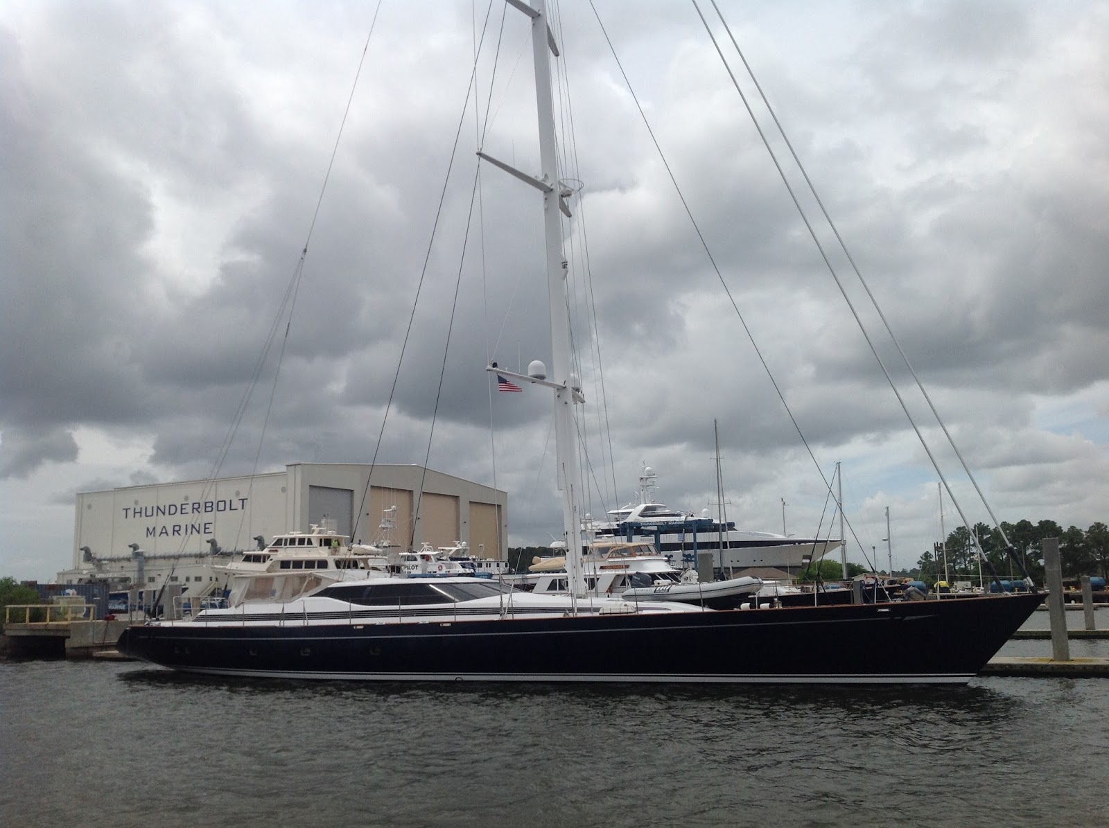
 5/12/15 - After topping off our fuel tank we headed back out beneath the Sydney Lanier Suspension bridge and entered Jekyll Creek to continue on the ICW. We found some serious shoaling as we entered the creek with the posted depth of 15' in actuality being more like 6'. As we passed a northbound boat we hailed him on the radio to warn of the shoaling he was approaching. He responded to say that it was nothing compared to what we were headed for. Several more miles down the creek we entered a one mile stretch of water that was only 5' deep and we literally plowed our way through the mud. It was a relief to get back into water that was 6' deep or more. In the chart at left the shallow area we encountered was next to the airport, shown in purple. Further on we crossed St. Andrews Sound which brought us briefly out to the edge of the Atlantic with breaking waves on the shallows around us. We entered the Cumberland River and turned off into the Brickhill River (mile 696.2) where we found a secluded anchorage around the first bend tucked in close behind Little Cumberland Island. Nice peaceful spot with trees on one side and salt marsh on the other.


 About 3.5 miles down we came to Cumberland Sound and civilization. There's a major nuclear submarine base here and beyond that is a very industrialized part of Amelia Island, and our entrance into the state of Florida. We motored past the town of Fernandina Beach on the Amelia River, crossed Nassau Sound and entered Gunnison Cut behind Talbot Island. Our final anchorage for this trip was on the Fort George River (mile 735.0) within sight of the Kingsley Plantation. The history of Fort George and the surrounding area is pretty interesting. Originally it was the site of a major village of the Timucua tribe and there are massive mounds of discarded oyster and snail shells, fish bones and pottery shards (the mounds are called middens) testifying to their long residence there over hundreds of years. The Spanish built a mission here in the late 1500's that existed for over one hundred years before being destroyed by the English in 1702. In 1736 our friend James Oglethorpe (Fort Frederica, Georgia) built Fort St. George here and over the next 90 years the French, Spanish and English wrestled possession of this island from each other. During the Spanish possession after the end of the American Revolution there were three major plantations owned by Americans here. One of them, the Kingsley Plantation, left it's mark in history when Florida became a US possession in 1821. Laws were then established severely restricting the rights of slaves and free blacks and it was at this time that Zephaniah Kingsley lobbied hard for the laws to be changed. Zephaniah was married to the daughter of an African chief and felt that blacks were the mental equal to whites but that slavery was their destiny. He worked this twisted logic to his advantage. He trained thousands of slaves to be skilled labor and sold them for premium prices. After fifteen years of legal battles he abandoned his plantation, freed his slaves and brought them with his family to Haiti.
5/14/15 - We were now within one days run to the end of our journey. Ever since we anchored out at Cane Patch Creek on 5/8 I'd had this feeling that we were close to the end and I didn't want it to stop. We'd had such a great time coming down here, spent more time together than in the last six months and really enjoyed it. The funny thing is that before we decided to do the ICW I had no interest in it at all. We had always planned to start our trip, our circumnavigation, by sailing straight to the Bahamas, taking maybe ten days of direct ocean sailing to get there. I mean, why bother motoring for a month on inland waters? But then life happened and we had to modify our plans. Buy a house, do the islands on a part-time basis for a while. We still hope to see the world some day but ya gotta play the cards you're dealt. Once we realized we wouldn't be able to go to the islands this year we decided it really made sense to make the most of the inland waterway trip. And now that's coming to an end. Bummer. There are upsides to being stuck in the dirt like being able to spend time with my Mom who's been lost in Scotland for the last ten years. And we both really do enjoy fixing up the house and having space to do our hobbies and blah, blah, blah. We'll make the most of all that. It's just that when you're in the midst of something that was unexpectedly good you hate to see it end. These were my thoughts on the morning of this day.

 We departed Fort George anchorage and continued south. We passed through Sister's Creek bridge (bascule) and shortly after turned up the St. Johns River (mile 739.7). This officially ended our time on the ICW but we still had eight bridges to contend with before reaching the end of our journey. The first three were high fixed bridges with plenty of clearance for large ships. As we got into downtown Jacksonville we ran a gauntlet of four more. The first was the Main Street bridge (lift) and we called ahead to let the bridge tender know we were on our way. As we approached, the bridge raised with perfect timing and we passed beneath. Just on the other side though we encountered three more tightly grouped together. The one in the middle was a railroad bridge and as luck would have it we got there just was a train was approaching. We drifted, backed and circled with several other boats while waiting to get through. The bridge finally opened and we had an uninterrupted run up the rest of the river, passing under the Buckman Bridge (fixed, 65') several miles further on. We had a beautiful day and put up the sails for a short while but neither of us were really into it so we motored in the rest of the way. We arrived at Green Cove Springs Marina around 1530. End of story. Actually, this was the end of our voyage but there's more to the story which will continue at another time.
Here's some stats:
- Distance of voyage - approximately 900 miles including 90 miles at the beginning from Herrington Harbour to Mobjack Bay, 32 miles from there to Hampton Roads and then 12 more down to Hospital Point (mile 0.0 on the ICW). At the end on the St. Johns River we added another 35 miles too.
- Bridges - way too many, something like 78 bridges
- Groundings - hard aground twice and bumped about six or seven times.
- Fuel consumed - approximately 210 gallons. 71 gallons at Dowry Creek Marina ($2.99/gal), 70 gallons at Charleston Harbor Marina ($3.65/gal), ? gallons at Brunswick Landing Marina. We haven't topped off the tank since we arrived in Green Cove Springs so I'm guessing 70 gallons more including Brunswick.
- Stayed in eight marinas for a total of 15 nights. $$$
- Dismal Swamp Welcome Center, 4/9 - 4/10
- Dowry Creek Marina, 4/14
- River Dunes Marina, 4/15 + 4/16
- Cricket Cove Marina, 4/21
- Harborwalk Marina in Georgetown, 4/23 + 4/24
- Charleston Harbor Marina, 4/27 - 4/29
- Lady's Island Marina in Beaufort, 5/1 - 5/4
- Brunswick Landing Marina, 5/10 + 5/11
- Total length of voyage was 40 days, 4/5 to 5/14. I guess that means we spent 25 nights at anchor.
- We saw bunches of dolphins and eagles and all kinds of wildlife but not one single alligator. I really was hoping to see one.
All in all this was a great trip and I'm glad we decided to do it. I'm not sure I'd ever want to do it again because I think it would get kinda monotonous after the first time but it was a great experience and I picked up some new skills along the way too (like getting off sand bars and avoiding strong currents). We saw some old friends along the way and made some new friends too. This was definitely a nice way to start out our retirement.


